
Government & Public Works
Current, shareable data for public projects — on a public budget
Based in Dripping Springs · serving Central Texas
Current, shareable data for public projects — on a public budget
Municipalities and public-works teams use our mapping for road and drainage corridors, floodplain planning, and parks — current documentation the whole team and the public can open in a browser, without sending a crew out for every site. One flight covers a corridor faster than boots on the ground, and everyone works from the same record.
What government & public works teams are up against
Deliverables built for the job
One flight, the full set — measurable to about a centimeter, all in a browser link, nothing to install.
- Corridor and site aerial maps at centimeter-level accuracy
- Bare-earth terrain and contours for drainage and grading
- Elevation models for floodplain and stormwater planning
- Ground-level 360° corridor and site documentation, navigable on the map
- Measurable browser viewer for staff, council, and the public
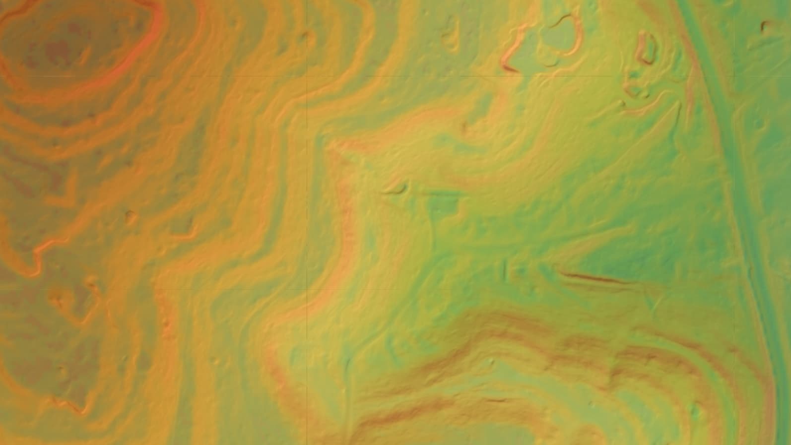
Digital elevation model
The service lines behind it
Ready to map your government & public works property?
Tell us about your site and goals and we'll put together a custom proposal with exactly what you need — no cookie-cutter packages.
Based in Dripping Springs · serving Central Texas