Live demo — explore a real Embry Solutions drone mapping flight over Dripping Springs, TX
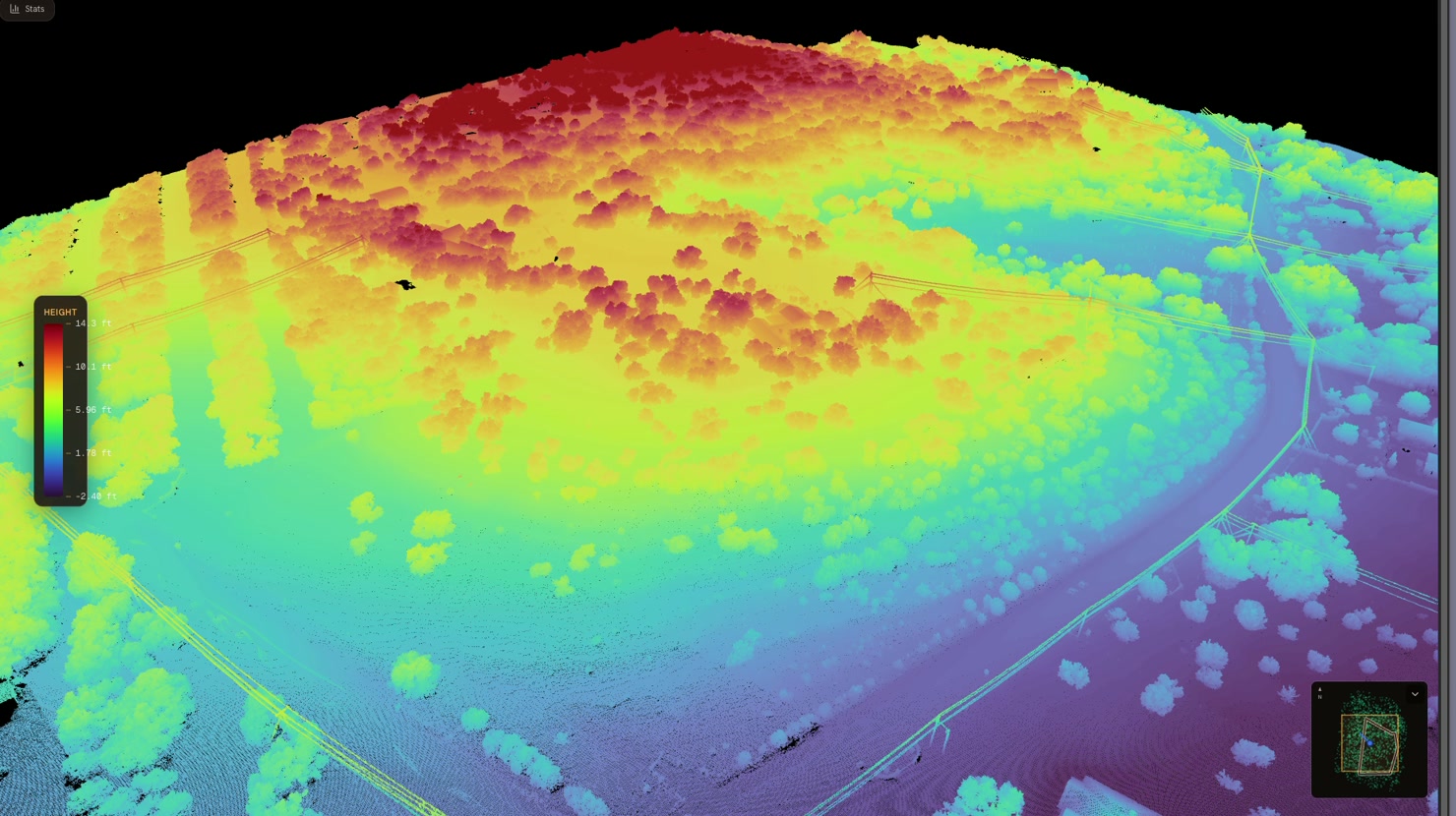
elevation-shaded
LiDAR Scan
Spin millions of points, color-coded by elevation.
Open LiDAR Scan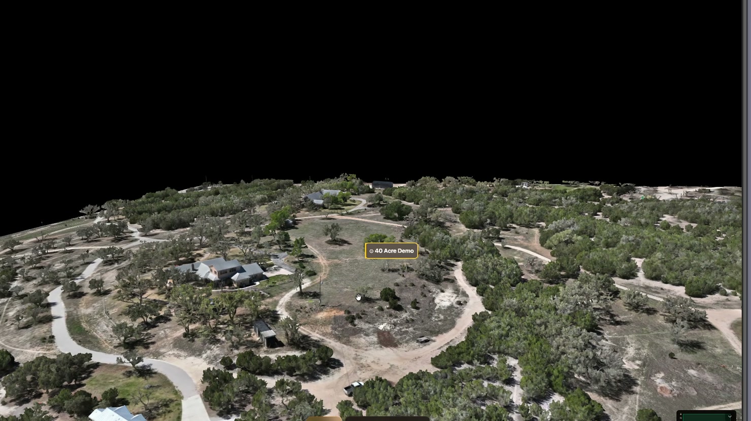
photoreal 3D
3D Model
Orbit a photoreal model — every roof, eave, and slope captured.
Open 3D Model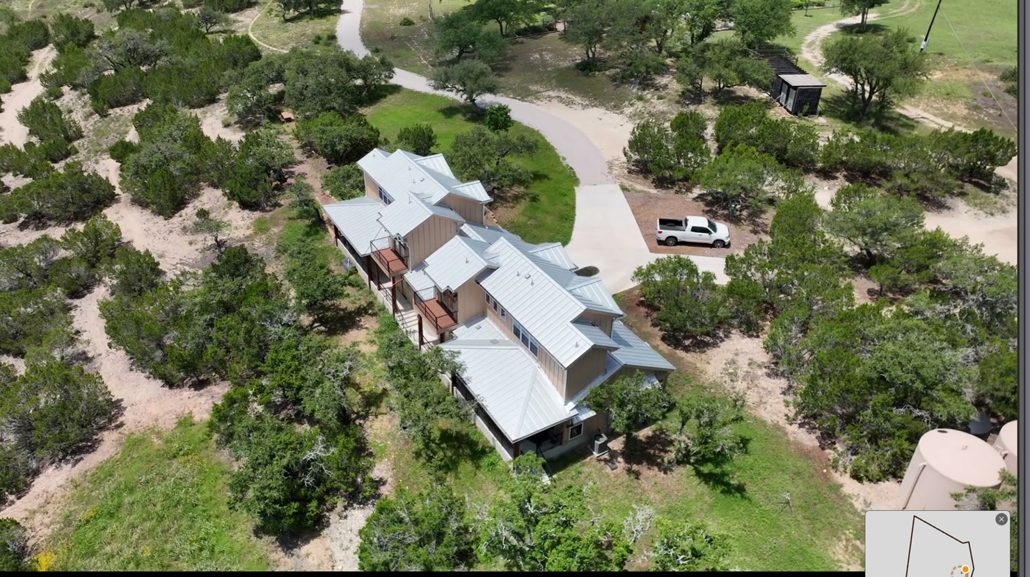
live · cinematic
Cinematic Flyover
A smooth aerial pass over the whole property — pure first look.
Open Cinematic Flyover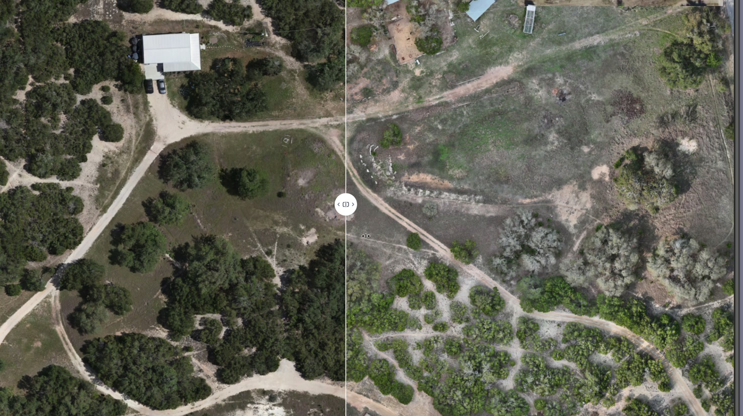
1–3 cm/px · measurable
Aerial Map
Measure distance, area, and acreage on a crisp map from above.
Open Aerial Map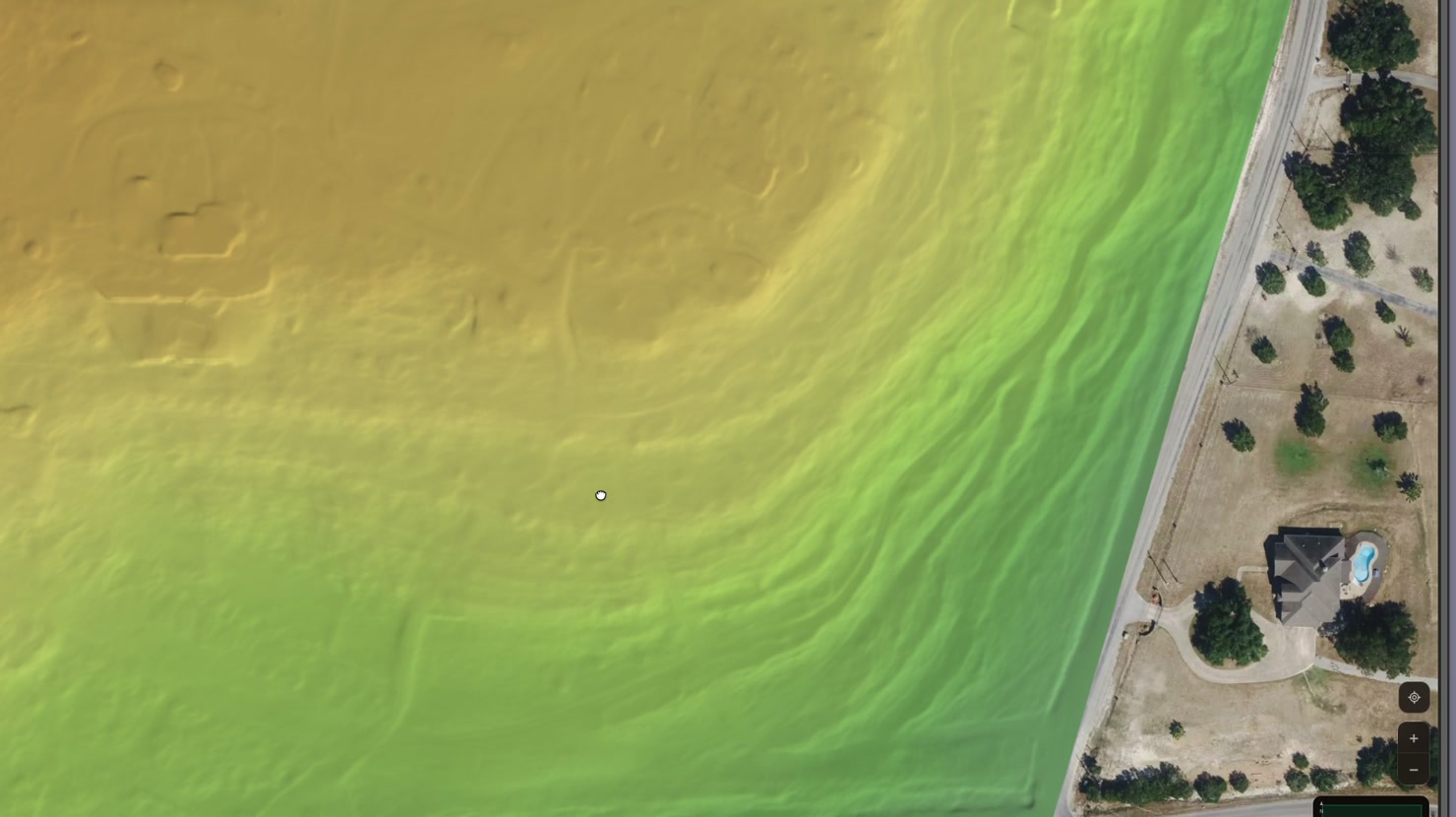
DSM · measurable
Elevation & Acreage
Color-shaded terrain — draw any boundary and read the acreage instantly.
Open Elevation & Acreage