
Real land, mapped down to about a centimeter. Explore a real flight right here — pick a view and it opens in your browser. Every client's project stays private; this sample uses real mapping data so you can try it for yourself.
Explore a real flight — pick a view
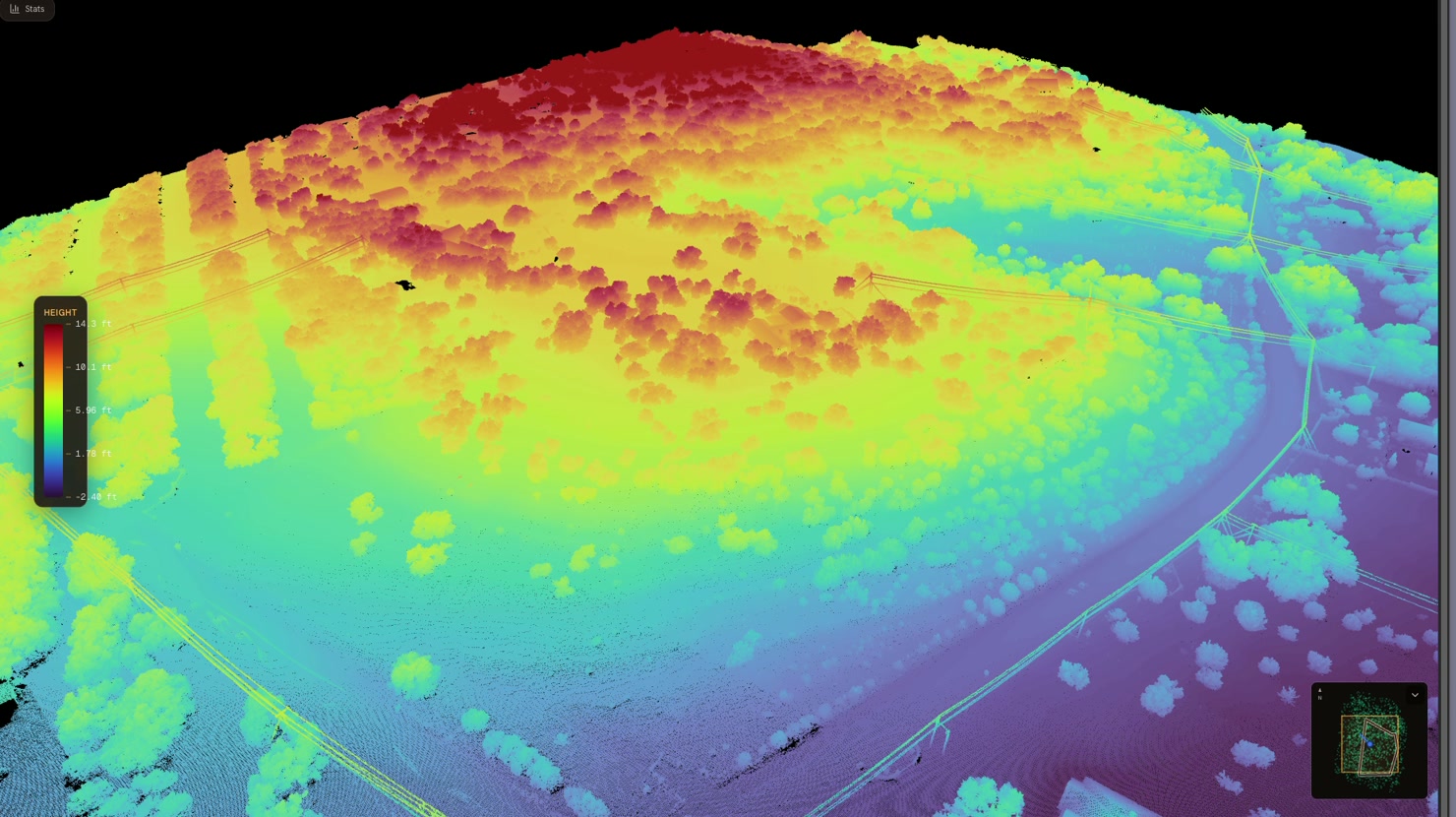
Spin millions of points, color-coded by elevation.
Open LiDAR Scan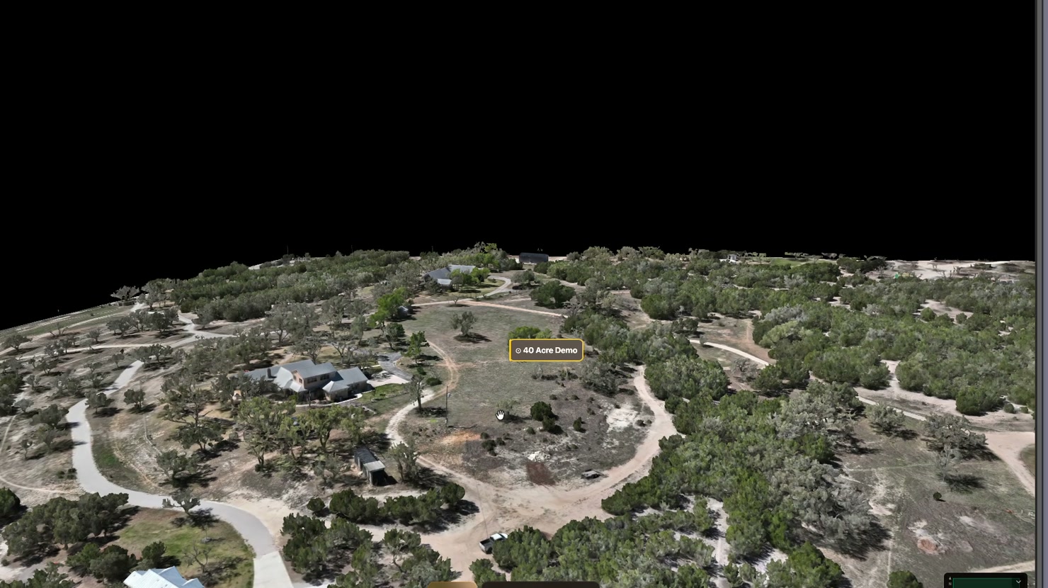
Orbit a photoreal model — every roof, eave, and slope captured.
Open 3D Model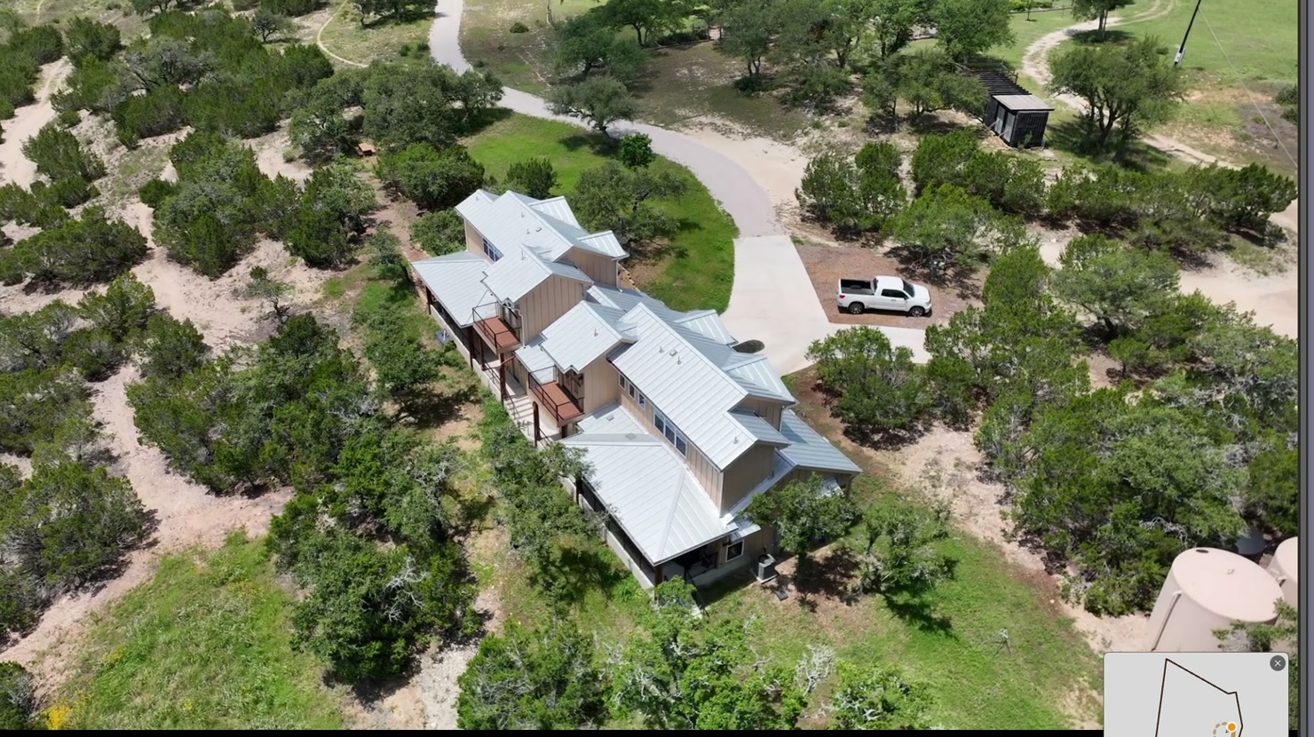
A smooth aerial pass over the whole property — pure first look.
Open Cinematic Flyover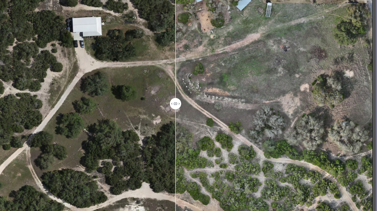
Measure distance, area, and acreage on a crisp map from above.
Open Aerial Map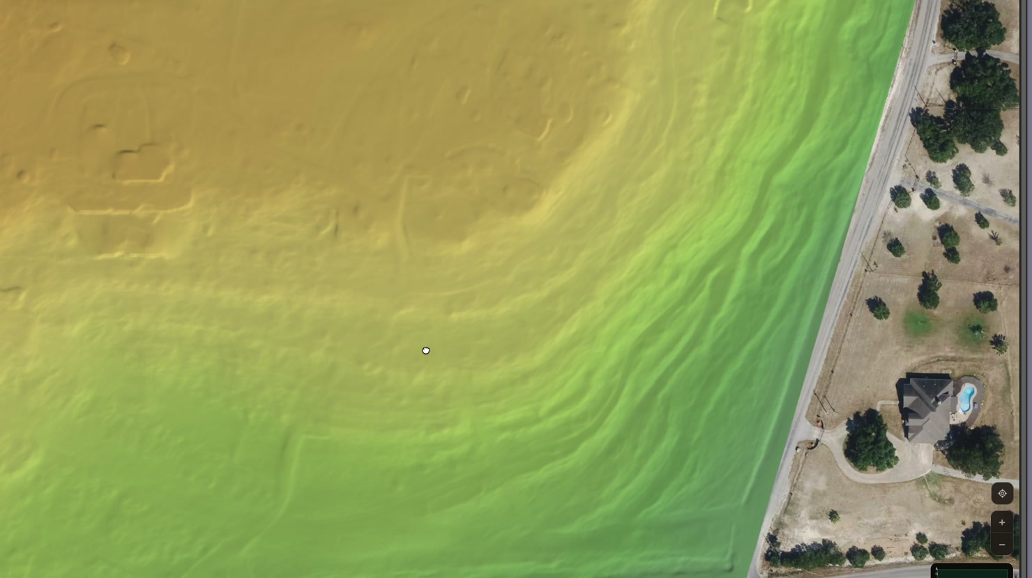
Color-shaded terrain — draw any boundary and read the acreage instantly.
Open Elevation & AcreageThe demo above isn't a marketing render — it's the same delivery every real client gets. Every mapping job is captured, processed, and shipped on the same pipeline.
We fly your property on a planned route — minimal prep, no prior setup, no markers to lay out. We handle everything on site.
We turn the flight into three deliverables — a razor-sharp aerial map for the finest details, an elevation map of the terrain, and a 3D model you can spin and explore — all from one visit, on our own machines.
Your own private page at a custom link. Measure distance and area, create your own annotations and measurements, download a PDF report, drop it into your own site, and ask our AI follow-up questions.
Every project includes the full package — interactive viewers, print-ready maps, the raw files, and your private page. No tiers, no à la carte.
After every flight we email you a PDF summary — coverage map, key measurements, and a link to your live viewer. Want a fresh one later? Generate it anytime from your page.
Typical timeline for a 5–50 acre property.
Send us your property — an address, or just a screenshot of the area on a map. We'll get a quote back to you within 48 hours.
We get your flight on the calendar — weather and airspace permitting, within 72 hours.
Our team comes to you. On-site flight time varies with acreage, but most jobs run 1–3 hours of air time plus a brief setup and breakdown window.
We provide you with a link to follow our progress as we process the flight data and generate your digital playground on our own machines.
Your private page goes live, a PDF report lands in your inbox, and you can start exploring.
Let's get started today — give us a call or shoot us an email to set up your free consultation and flight plan.