About Embry Solutions

A family-founded company turning drone data into business decisions for the Texas Hill Country.

Our Story

Embry Solutions was founded with a simple observation: most drone companies deliver maps, but maps alone don't drive decisions. Construction managers need progress verification. Developers need terrain intelligence. Ranch owners need accurate property documentation. Everyone needs more than pixels — they need answers.

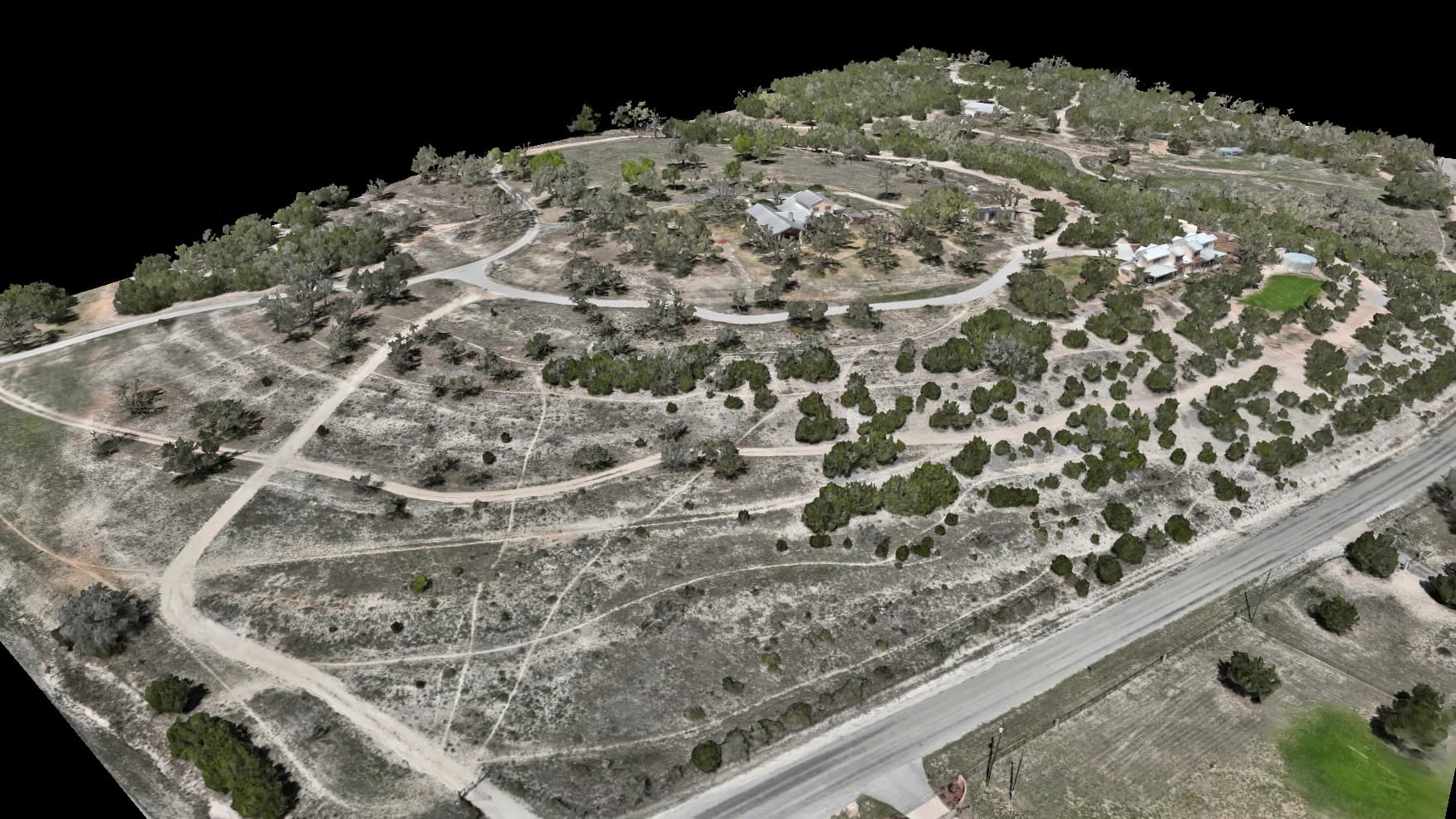
That's why we built Embry Solutions differently. We combine FAA-certified flight operations with custom machine learning pipelines to transform raw aerial data into answers you can act on — predictive analytics, automated change detection, vegetation health classification, and photorealistic 3D visualization.

Local Presence

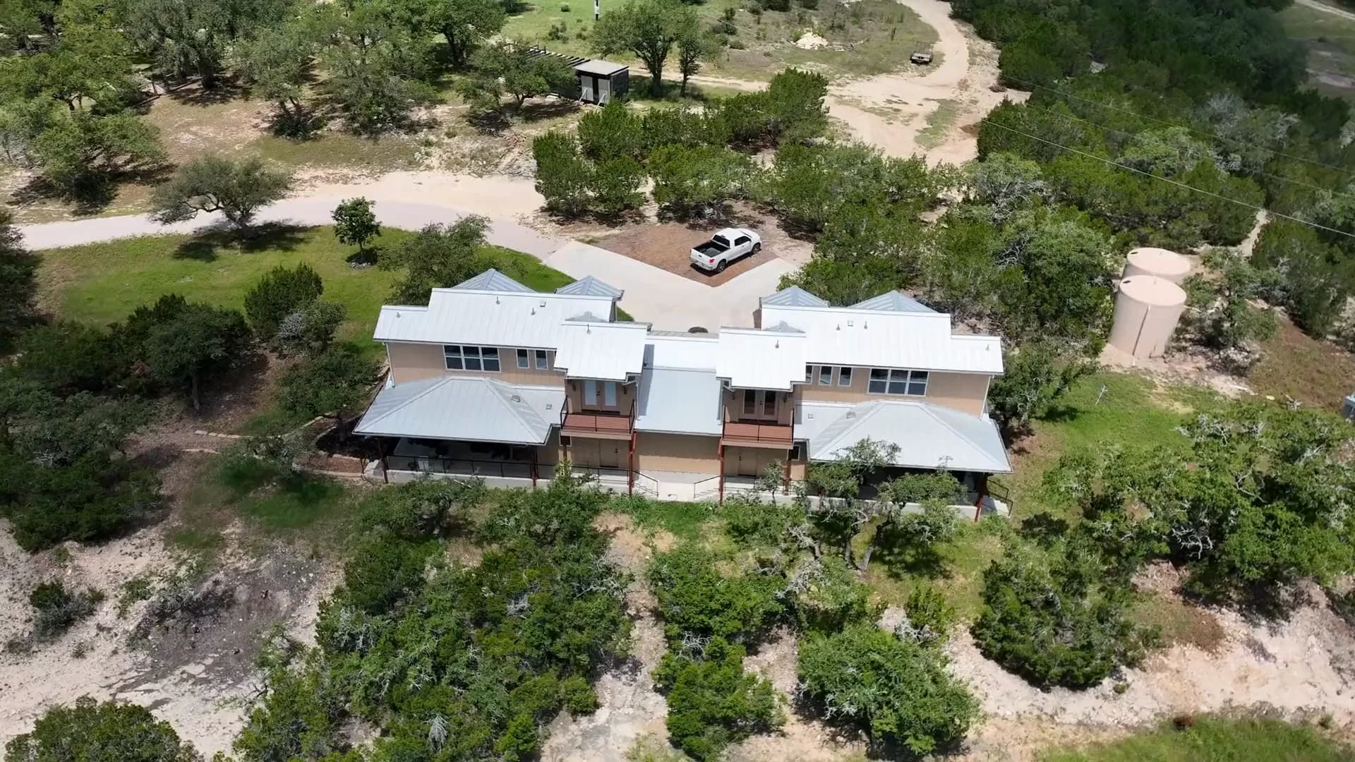
Based in Dripping Springs — we know the terrain, the market, and the people.

FAA Certified

Part 107 certified pilots. Legal, insured, and compliant.

Custom ML Pipeline

In-house GPU cluster for processing and analytics.

RTK Accuracy

1-3cm positional accuracy — 10-20x better than standard drones.

500,000+
Aerial Photos Captured
10,000+
Acres Mapped
1-3cm
RTK Accuracy
48hr
Typical Turnaround

Why Choose Embry Solutions

We deliver more than maps. We deliver answers.

In-House Processing

No cloud queues. Our local GPU cluster processes your data same-day, so you get deliverables in 24-48 hours instead of weeks.

Survey-Grade Accuracy

RTK-corrected positioning delivers 1-3cm accuracy — 10-20x better than consumer drones. Results you can stake decisions on.

Interactive Deliverables

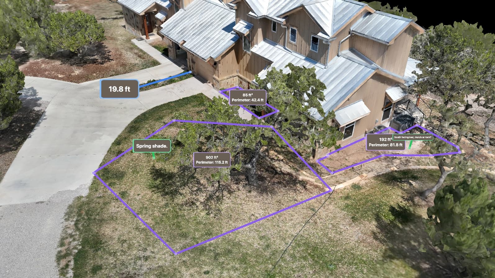
Every project includes a private portal with interactive 3D models, annotatable maps, and shareable links — no software downloads required.

Credentials & Compliance

Licensed, insured, and equipped for professional operations.

FAA Part 107

Certified remote pilot license for commercial drone operations under FAA regulations.

RTK-Capable Fleet

Real-Time Kinematic correction for centimeter-level positional accuracy on every flight.

Commercial Insurance

Full commercial drone liability coverage protecting your project and our operations.

COA Eligible

Qualified for Certificate of Authorization applications for restricted airspace operations.

Meet the Team

Three co-founders combining flight operations, machine learning, and business development.

Joshua Embry

Founder & CEO / Lead Pilot

FAA Part 107 certified remote pilot with a background in DevOps, prompt engineering, QA, and technical infrastructure. Joshua leads flight operations, business development, and technical strategy. With 500,000+ drone photos captured and processed, he brings both technical precision and operational expertise to every project.

FAA Part 107 Certified500,000+ Photos Processed
Flight OperationsBusiness DevelopmentDevOps EngineeringTechnical Infrastructure
joshua@embrysolutions.com

Caleb Embry

Co-Founder / CTO & ML Engineer

Machine learning engineer and data scientist responsible for our custom processing pipeline and AI-powered analytics. Caleb architects the in-house GPU cluster that powers our photogrammetry processing, photorealistic 3D capture, and predictive modeling capabilities.

ML EngineerData Scientist
Machine LearningKubernetes OrchestrationComputer VisionPredictive AnalyticsPhotorealistic 3D
caleb@embrysolutions.com

Noah Embry

Co-Founder / Business Development

Leads client development, sales outreach, and account management. Noah is the first point of contact for new clients and manages relationships through the project lifecycle. Currently pursuing Part 107 certification to serve as second certified pilot for dual-crew operations.

Part 107 In Progress
Client DevelopmentSales & OutreachAccount ManagementNetworking
noah@embrysolutions.com

Processing Infrastructure

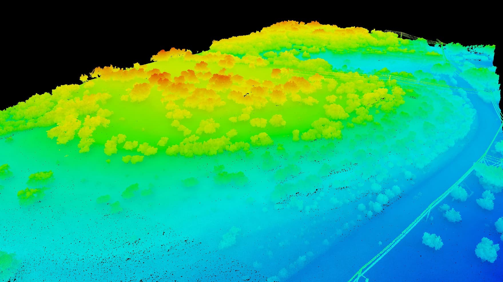
Our in-house GPU cluster processes drone data locally — no waiting for cloud queues. 52 CPU cores, 112GB RAM, and dedicated GPU acceleration power our photogrammetry, point cloud processing, photorealistic 3D capture, and machine learning workloads.

52
CPU Cores
112GB
RAM
27GB
GPU VRAM
1.7TB
NVMe Storage

Let's Work Together

Whether you need a one-time aerial mapping project or ongoing site monitoring, we're ready to help. Reach out for a free consultation.

Get in Touch