
Site Monitoring
We come back on a schedule you set and re-map the same site — flown by a real pilot, same scope every cycle — so you can track change flight over flight.
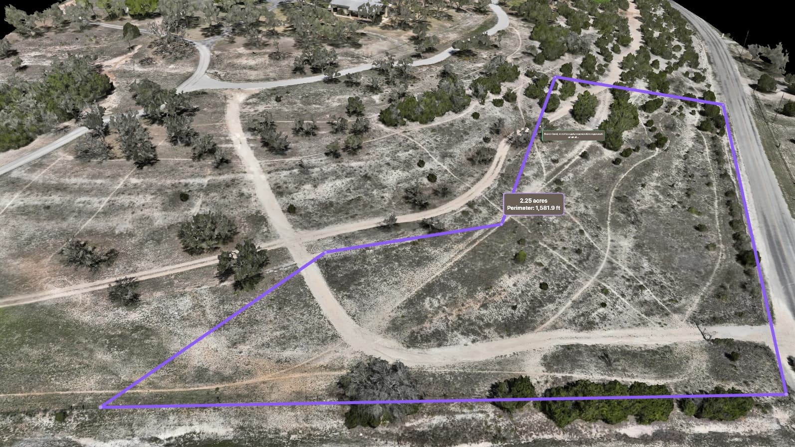
How the program works
A repeat mapping run on the cadence you choose. Same site, same scope, flight over flight — with the change already lined up for you.
You set the cadence
Pick monthly, quarterly, or annual — and, if you like, mark the area you want us to re-map each cycle.
We fly it
A real pilot flies the same site at the same scope every cycle. No guesswork, no drifting coverage.
It lands in your viewer
Each new flight opens in your private browser viewer, right next to the last one — a private link, nothing to install.
You get a Change Report
We auto-attach a Change Report that opens the Compare viewer in difference mode, so you can see exactly what moved between flights.
Need something off-cycle? Send a request
Want a re-fly between cycles, a different cadence, or a different area? Send a request and we review it. A re-fly of the same scope is never an automatic charge.
The promise is a month — like “June 2026” — not a specific day or time. You track change flight over flight, on the cadence you chose.
What it pairs with
Every cycle can carry the analysis you actually use — each read derived from the flight, lined up against the last one.
Change detection
The Compare viewer highlights exactly what moved between two flights, in difference mode.
Cut & fill
Earthwork volumes measured against a prior surface, cycle to cycle.
Stockpile volumetrics
Pile volumes tracked flight over flight, on the schedule you set.
Drainage & erosion watch
How water moves and where the ground is shifting, read cycle to cycle.
Derived, not certified
This data is not a legal survey. Embry Solutions LLC does not perform land surveys. For boundary, subdivision, or title surveys, please consult a licensed Texas surveyor.
Who it serves
Sites where “what changed since last time” is the whole question.
Put your site on a schedule
Tell us the site, the cadence, and what you want to track. We’ll put together a custom proposal — application to quote, no surprises.