Drone Mapping Services in San Antonio, TX
Precise aerial maps and laser scanning for South Texas construction, military, and infrastructure projects.
Based in Dripping Springs · serving San Antonio, TX and Bexar County
Professional Drone Mapping for San Antonio, Texas
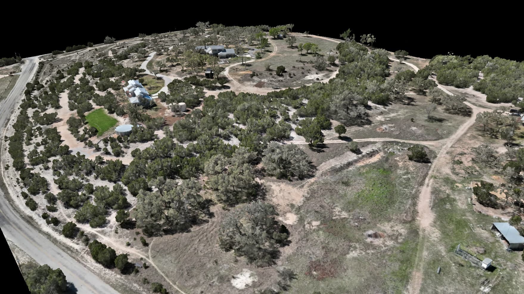
San Antonio's mix of landscapes — from the I-35 and Loop 1604 corridors to the Hill Country edges in the northwest — calls for a range of mapping tools. Embry Solutions serves the whole San Antonio metro with crisp aerial maps, laser scanning that sees through tree cover, and heat mapping. From base infrastructure checks to commercial development and new subdivisions, we deliver the accuracy San Antonio's project managers and engineers rely on.
Why choose Embry Solutions in San Antonio
Drone mapping services available in San Antonio
Every service comes with interactive viewers you open in any browser, the full set of maps and models, and accuracy down to about a centimeter.
Aerial Mapping
Crisp aerial maps and 3D models of your land, accurate to about a centimeter.
Laser Scanning
Sees through tree cover and brush to map the bare ground hiding underneath.
Heat Mapping (Coming Soon)
Spot heat loss, hidden moisture, and equipment trouble the eye can't see.
Smart Land Analysis
Change detection, terrain forecasts, and automatic sorting from your drone data.
Local expertise in San Antonio
San Antonio's growth is reshaping the landscape from the Southside to far northwest Bexar County. Whether you're tracking a highway expansion along Loop 1604, mapping a new master-planned community near Cibolo, or checking rooftop solar downtown, Embry Solutions brings inch-level precision to every flight.
Also Serving
Ready to map your San Antonio project?
Tell us about your site and goals. We'll put together a custom proposal with exactly what you need — no cookie-cutter packages.
Based in Dripping Springs · serving San Antonio, TX and Bexar County