Drone Mapping Services in Dripping Springs, TX
Your local drone mapping team — based in Dripping Springs, serving Hays County and beyond.
Based in Dripping Springs · serving Dripping Springs, TX and western Hays County
Local Drone Mapping in Dripping Springs, Texas
Embry Solutions is based right here in Dripping Springs. As locals, we know the terrain, the way the area is growing, and the land challenges that define this part of Hays County. Dripping Springs is booming — new subdivisions, commercial projects along 290, and custom homes going up on multi-acre lots all over. We deliver inch-accurate drone mapping that helps landowners, builders, and developers navigate that growth with real data.
Why choose Embry Solutions in Dripping Springs
Drone mapping services available in Dripping Springs
Every service comes with interactive viewers you open in any browser, the full set of maps and models, and accuracy down to about a centimeter.
Aerial Mapping
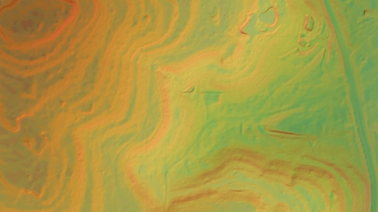
Crisp aerial maps and 3D models of your land, accurate to about a centimeter.
Laser Scanning
Sees through tree cover and brush to map the bare ground hiding underneath.
Heat Mapping (Coming Soon)
Spot heat loss, hidden moisture, and equipment trouble the eye can't see.
Smart Land Analysis
Change detection, terrain forecasts, and automatic sorting from your drone data.
Local expertise in Dripping Springs
As your neighbors in Dripping Springs, we're invested in this community. We've mapped sites from Belterra to Caliterra, from Driftwood to the Fitzhugh Road corridor. Whether you're a custom home builder who needs topo mapping before breaking ground, a realtor marketing a ranch listing, or a developer planning the next phase along Highway 290, we're five minutes away and ready to fly.
Also Serving
Ready to map your Dripping Springs project?
Tell us about your site and goals. We'll put together a custom proposal with exactly what you need — no cookie-cutter packages.
Based in Dripping Springs · serving Dripping Springs, TX and western Hays County