Drone Mapping for the Texas Hill Country
Laser scanning, terrain, and aerial mapping built for rugged ground and big acreage.
Based in Dripping Springs · serving Hays, Blanco, Comal, Gillespie, and Burnet counties
Drone Mapping for the Texas Hill Country
The Texas Hill Country is a tough place to map: rugged limestone, dense cedar and oak cover, steep changes in elevation, and big properties you can't cover on foot. This is the landscape we specialize in. Our laser scanning sees through the tree cover to the real ground, and our camera mapping captures every roll of the terrain to within about an inch. From Wimberley to Fredericksburg, Johnson City to Marble Falls, we know the Hill Country.
Why choose Embry Solutions in Hill Country
Drone mapping services available in Hill Country
Every service comes with interactive viewers you open in any browser, the full set of maps and models, and accuracy down to about a centimeter.
Aerial Mapping
Crisp aerial maps and 3D models of your land, accurate to about a centimeter.
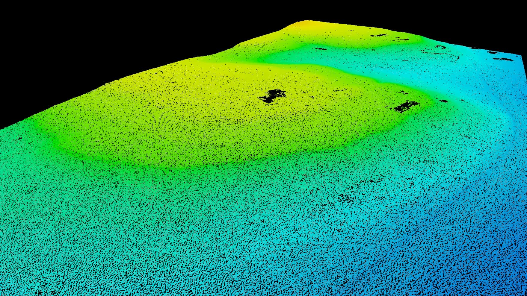
Laser Scanning
Sees through tree cover and brush to map the bare ground hiding underneath.
Heat Mapping (Coming Soon)
Spot heat loss, hidden moisture, and equipment trouble the eye can't see.
Smart Land Analysis
Change detection, terrain forecasts, and automatic sorting from your drone data.
Local expertise in Hill Country
The Hill Country is where we got our start and where we do our best work. The terrain here calls for laser scanning — photos alone can't see through the dense Ashe juniper that covers most undeveloped land. Whether you're planning a ranch subdivision near Dripping Springs, mapping a vineyard site, or covering a 200-acre parcel along the Pedernales River, we deliver the terrain data you need to make good calls.
Also Serving
Ready to map your Hill Country project?
Tell us about your site and goals. We'll put together a custom proposal with exactly what you need — no cookie-cutter packages.
Based in Dripping Springs · serving Hays, Blanco, Comal, Gillespie, and Burnet counties